FJD AL02 Max 3D Land Leveling System

GNSS-Based Leveling
Terrain Digitalization

Terrain Survey & Design
Survey & Design File Transfer
Height Calibration
Multi-Machine Coordination
FJD AL02 Max GNSS Land Leveling for Tractors
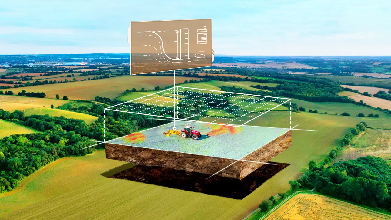
The FJD AL02 Max 3D Land Leveling System brings terrain surveying, surface design, and automatic blade control into one workflow for level or sloped fields. GNSS positioning helps operators follow the target surface while the system controls blade height during leveling.
Designed for farmers and water management contractors, AL02 Max supports field-data transfer, multi-machine project sharing, and automatic project records. These tools help teams coordinate land forming and manage water with fewer manual handoffs.
From Terrain Survey to Blade Control
Survey the terrain, design the target surface, and control the blade in one connected land leveling workflow.

Survey
Terrain Data

Design
Target Surfaces
Level
Blade Control
Survey and Design File Transfer
Import and export survey and design files so field data and surface plans can move between supported equipment and project stages.

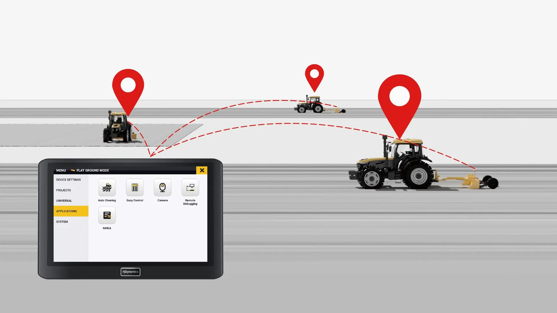
Coordinate Multiple Leveling Machines
Share project files among tractors equipped with AL02 Max so multiple machines can work from the same land leveling plan.
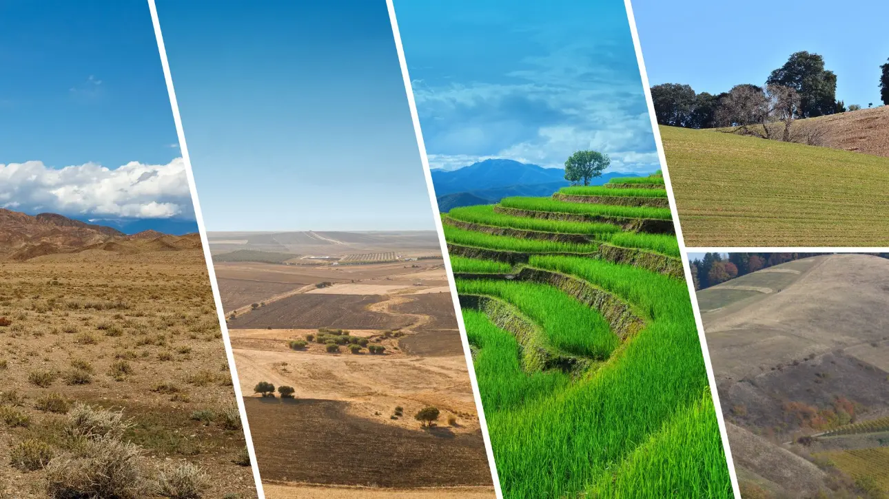
Plan Level and Sloped Surfaces
Create level, single-slope, or double-slope surface designs to match the field and water-management plan.
Keep Project Records Ready
Completed land leveling projects are saved in project management. Operators can review project history and generate PDF reports for analysis or future reference.